Glossary!These are common geologic (and manmade/geographic features), as seen from 35,000 feet.
You can open any of these examples in Google Earth by clicking the Google Earth icon: 
If you don't know the name of the feature you're looking for, go here: "What Was That?" (This is a tool that sorts features based on what they look like: mountains, rivers, valleys, piles of sand etc.)
A B C D E F G H I J K L M N O P Q R S T U V W X Y Z{D} back to top
| Dams - Big dams are easily identifiable from overhead because of the giant pool of water behind them and the tiny little stream of water coming out the front. There are a lot of large dams in the U.S. that can be readily seen from flight {read more} |
|
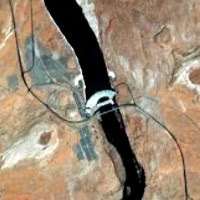 | 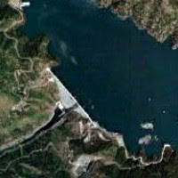 |  |
Scale: Images are taken from an altitude of ~35,000 feet, and so are each ~1 mile across.
 Open these examples in Google Earth,
 or download all of the landforms
here.
| Delta - Where the mouth of the river flows into an ocean. {read more} |
|
 | 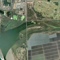 |  |
Scale: Images are taken from an altitude of ~35,000 feet, and so are each ~1 mile across. (Except right-hand image, which is 15 miles across)
 Open these examples in Google Earth,
 or download all of the landforms
here.
| Delta Distributaries - Small streams that break off a main river at a delta and flow independently into the ocean, lake, or larger river that the river feeds into. {read more} |
|
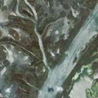 | 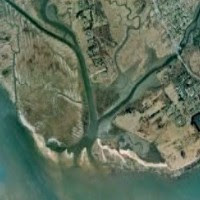 | 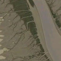 |
Scale: Images are taken from an altitude of ~35,000 feet, and so are each ~1 mile across.
 Open these examples in Google Earth,
 or download all of the landforms
here.
| Dike, Exposed - Dikes form when lava cuts up through overlying rock, usually on its way to the surface. As the overlying layers are eroded away, dikes can appear on the surface as long, resistant ridges, often a different color than the surrounding landscape. {read more} |
|
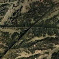 | 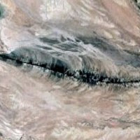 | 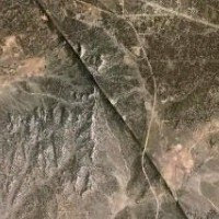 |
Scale: Images are taken from an altitude of ~35,000 feet, and so are each ~1 mile across.
 Open these examples in Google Earth,
 or download all of the landforms
here.
Dissected Plateau -
See "Plateau, Dissected"
| Drumlin - A long, narrow hill formed by a retreating glacier. Common in Minnesota, Wisconsin, Boston, etc. They are often distinctive, since they can occur as swarms of long, narrow hills, all pointing North (or North-ish). From above, these swarms can look like long striations on the landscape {read more} |
|
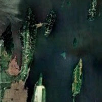 | 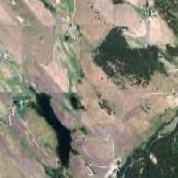 | 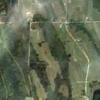 |
Scale: Images are taken from an altitude of ~35,000 feet, and so are each ~1 mile across.
 Open these examples in Google Earth,
 or download all of the landforms
here.
Dunes, Coastal - Dunes form on beaches when waves bring more sand than they take away, winds blow sand inland, and vegetation or another obstacle blocks sand from blowing too far inland. {read more}
|
|
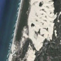 |  | 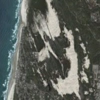 |
Scale: Images are taken from an altitude of ~35,000 feet, and so are each ~1 mile across.
 Open these examples in Google Earth,
 or download all of the landforms
here.
Dunes, Crescentic (aka Barchans) - Crescent-shaped sand dunes that form from wind that blows consistently from one direction. The "wings" point in the direction the wind blows. {read more}
|
|
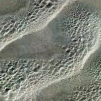 |  | 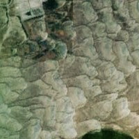 |
Scale: Images are taken from an altitude of ~35,000 feet, and so are each ~1 mile across.
 Open these examples in Google Earth,
 or download all of the landforms
here.
Dunes, Longitudinal (aka Seif Dunes) - Long sand hills that form parallel to wind direction. The opposite is a transverse dune, perpendicular to the wind direction. {read more}
|
|
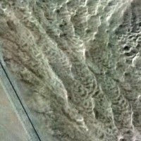 |  |  |
Scale: Images are taken from an altitude of ~35,000 feet, and so are each ~1 mile across.
 Open these examples in Google Earth,
 or download all of the landforms
here.
Dunes, Parabolic - U-shaped sand dunes, anchored by vegetation. The "wings" point into the wind. (The opposite of barchan dunes). {read more}
|
|
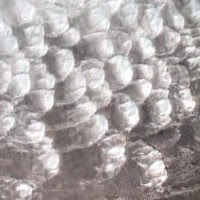 |  | 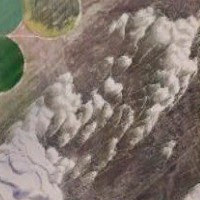 |
Scale: Images are taken from an altitude of ~35,000 feet, and so are each ~1 mile across.
 Open these examples in Google Earth,
 or download all of the landforms
here.
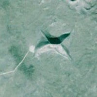
Dunes, Star - Radially-symmetrical sand dunes with multiple "arms". They form in places where the wind can blow from multiple directions. {read more}
|
|
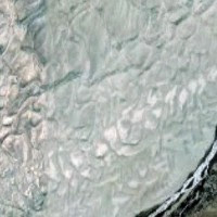 |  |  |
Scale: Images are taken from an altitude of ~35,000 feet, and so are each ~1 mile across.
 Open these examples in Google Earth,
 or download all of the landforms
here.
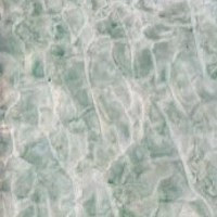
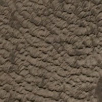
| Dunes, Transverse - Long sand hills that form perpendicular to wind direction. The opposite is a longitudinal dune, parallel to the wind direction. {read more} |
|
 |  |  |
Scale: Images are taken from an altitude of ~35,000 feet, and so are each ~1 mile across.
 Open these examples in Google Earth,
 or download all of the landforms
here.


No comments:
Post a Comment